

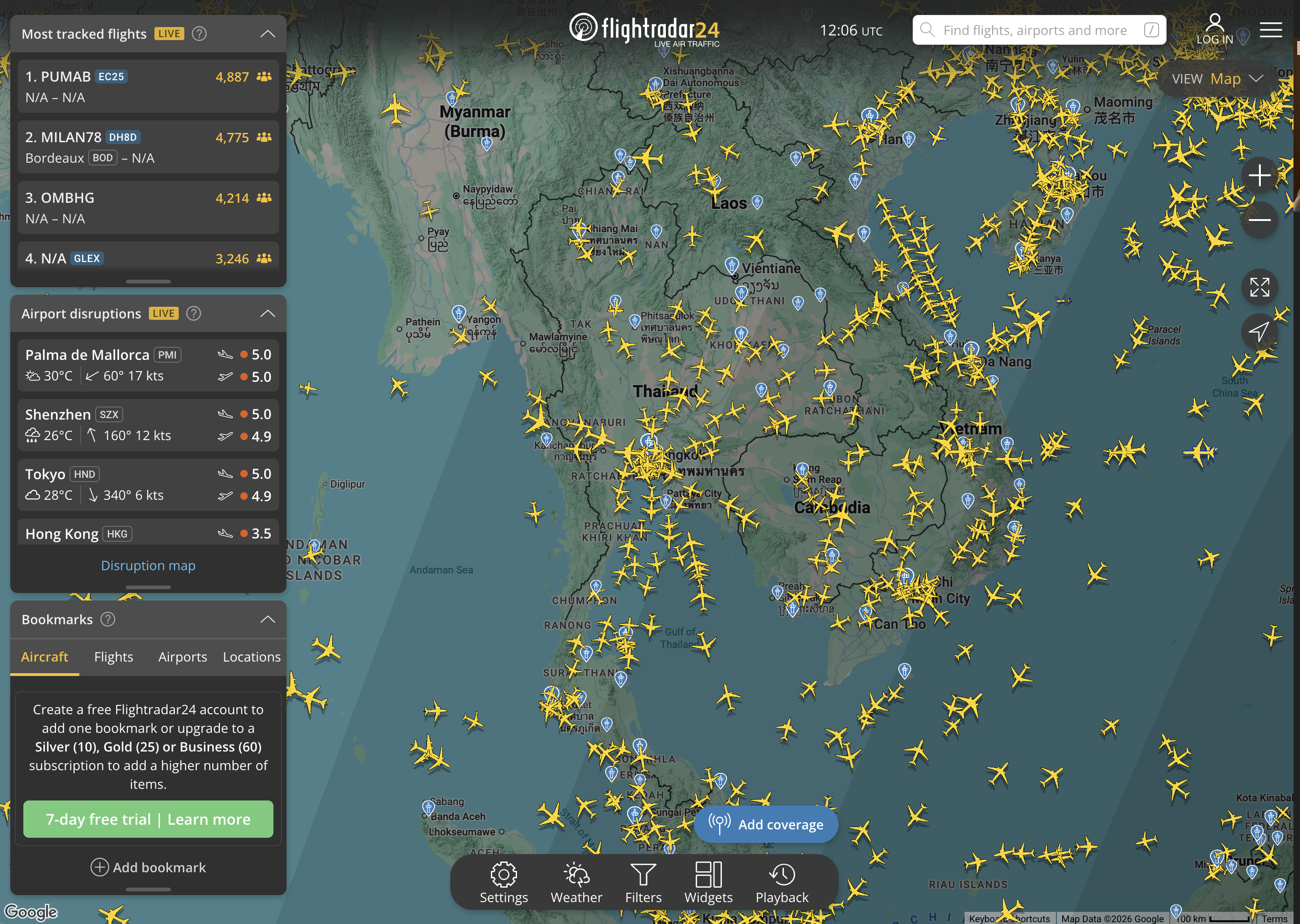
There are about 200,000 flights in the air on any given day.
You can watch all of them.
Flightradar24 is a live map of every commercial aircraft currently in the sky — updated in real time, every few seconds. Each little yellow plane icon is a real flight. Click on any one of them and you get the full story: the airline, the flight number, the aircraft type, the altitude, the speed, the departure airport, the destination, the scheduled arrival time, and a trail showing exactly where it's been.
The rabbit hole is immediate. You open it once to check on a flight, and forty minutes later you're watching a cargo plane cross the Pacific and wondering what's in it. You're tracking a flight that's been in a holding pattern for twenty minutes and now you're invested. You're pointing it at the sky above your house and identifying the plane you just heard overhead.
That last one is the hook that gets most people. You hear a plane. You open Flightradar24. You find it on the map. You watch it cross your neighborhood in real time. It feels like a superpower you didn't know existed.
The data comes from a global network of ADS-B receivers — thousands of volunteer-operated antennas around the world that pick up signals broadcast by aircraft transponders. Flightradar24 aggregates all of it and puts it on a map anyone can access.
Free version covers everything you need — live flight tracking, flight details, airport views, playback of recent flights. The paid tiers add more history, more data, and features for aviation nerds. You probably don't need them.
It also works the other way: if someone you know is flying, you can track their specific flight in real time. Watch it take off. Watch it cruise. Watch it start its descent. Text them "gear down in 8 minutes" and wait for the reply.
200,000 flights. Every day. All of them up there right now.
Go look.