

A STORM IS COMING. HERE'S A LIVE MAP OF IT, WITH SATELLITE IMAGES, RAIN AND WIND.
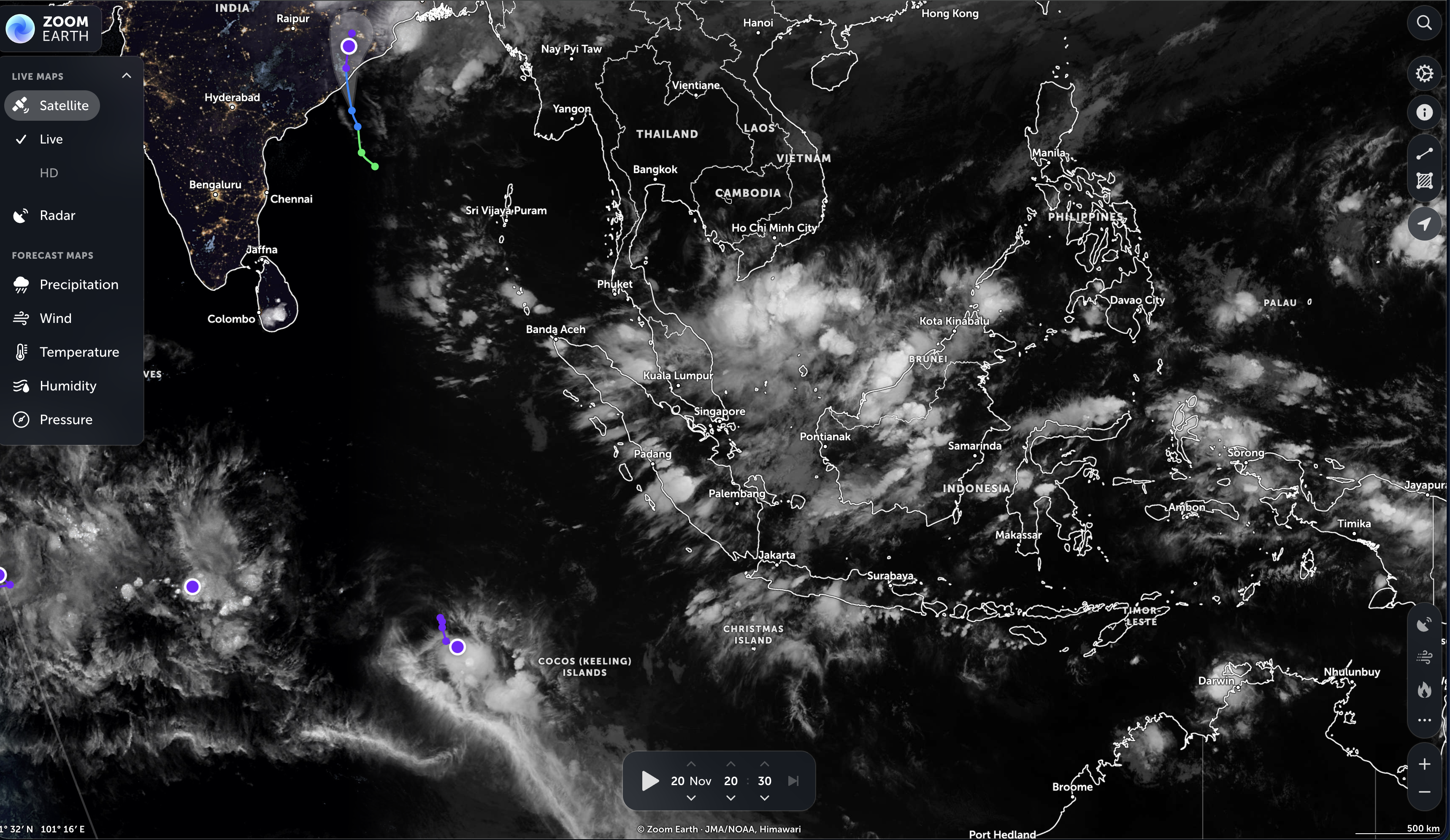
When a storm is heading your way, or a relative's, you want to see it, not read about it.
Zoom Earth is built for that. Its page describes it as a way to "track hurricanes, cyclones, storms" and see live satellite images, rain maps, and forecast maps of wind and temperature for your location.
What's on the map. Storm tracks for tropical systems, live satellite imagery from weather satellites run by the US, Europe and Japan, rain radar processed from sources around the world, wind and temperature forecasts from two weather models, and a layer of active fire incidents. You can search for a place or let it show your location, measure distances and areas, and loop the satellite view from 3 to 24 hours. There's also a mobile app for iPhone, iPad and Android.
Where the data comes from. The site names its sources: NOAA, EUMETSAT and Japan's JMA for satellites, several official agencies for tropical storm tracks, and government fire agencies for incidents. It's run by a company called Neave Interactive Ltd.
Honest notes: the site itself says "Do not use for the preservation of life or property!" and points users to their local authorities for current information. Take that seriously: if there's a storm warning where you live, follow your local emergency services first. The "heat spots" fire layer comes from NASA and is not live; the site warns that detections can be delayed by many hours and can come from things other than fires, such as agriculture. The page doesn't mention ads or pricing, and I read it as text rather than using it.
Bookmark it before storm season, not during.
READY? HERE IT IS.
 oh, one more thing before you go — word on the street is you missed past Rubbernecks and you're falling behind. The archive.
If you click and buy something, we may earn a small cut. If it's boring, we don't feature it.

GET TOMORROW'S
JAW-DROPPER.
One site. Every day. Free. In your inbox. No garbage. Unsubscribe whenever.
MORE LIKE THIS
🐔 YOU THINK THIS IS THE ONLY ONE?
THERE ARE HIDDEN GEMS
YOU HAVEN'T SEEN YET.
A new jaw-dropper every day. Go dig through the archive — there's something in there that will wreck you.