

TYPE IN YOUR TOWN. SEE WHAT IT LOOKED LIKE CENTURIES AGO, LAID RIGHT OVER TODAY'S MAP.
The street you live on used to be something else. A field, a marsh, a rail yard, a river that someone later buried. The evidence exists. It's just sitting in library collections around the world, scanned and scattered, and almost nobody knows where to look.
OldMapsOnline is the shortcut.
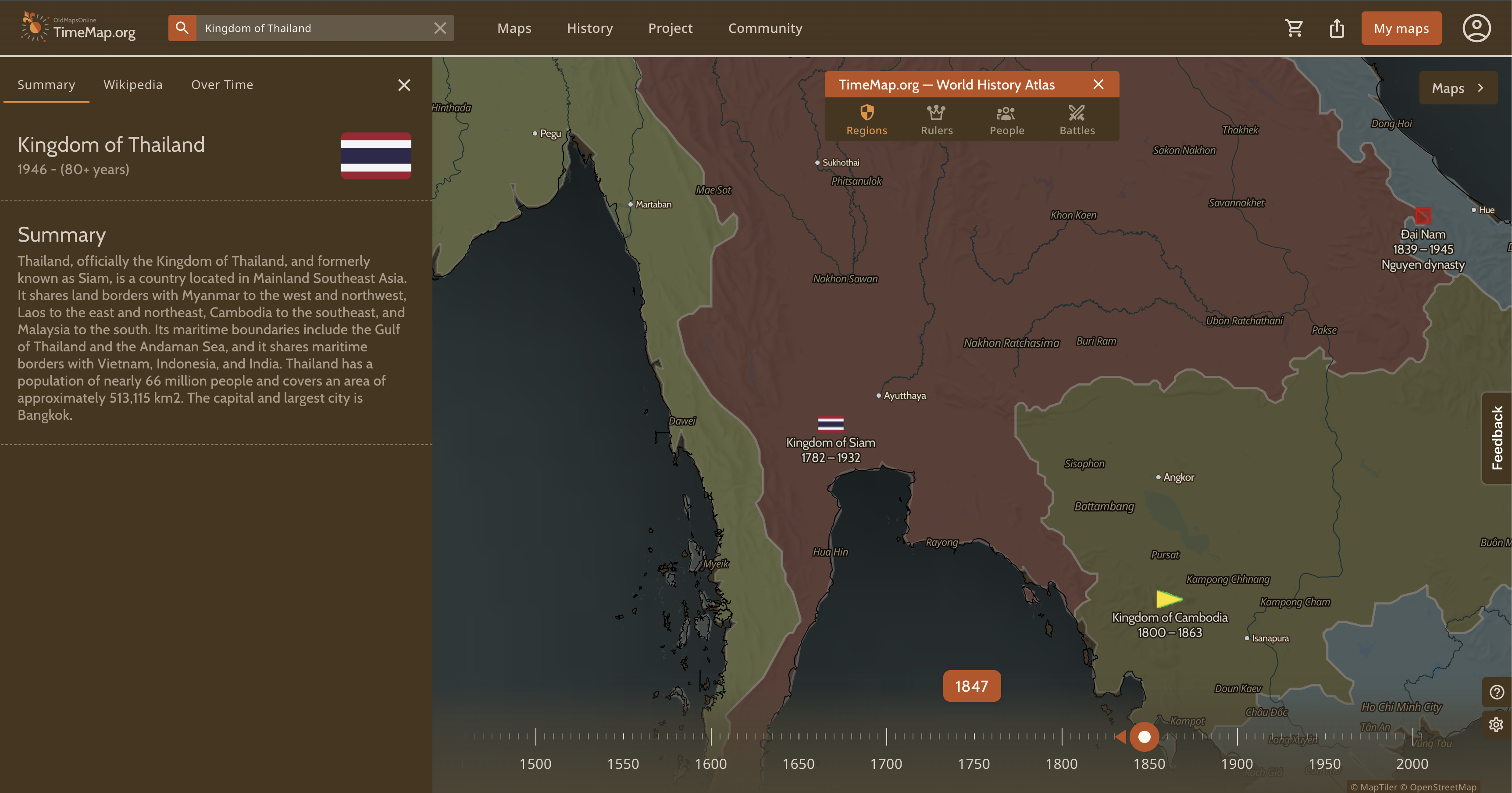
It's a single search portal for historical maps. Instead of making you figure out which library holds which map, it pulls scanned maps from libraries, universities, and archives into one place. According to its own About page, it indexes more than a million historical maps from over 70 partner institutions. (Older write-ups cited around 500,000 maps from 50-plus institutions, so it has grown.) One of the best-known partners is the David Rumsey Map Collection from Stanford, which the site lists with more than 80,000 maps, many of them rare 18th and 19th century maps of North and South America.
Here's how it works. Zoom and pan around a world map, or type in a place name, and you get a list of the old maps that cover it. A timeline lets you pick a year and watch the map update to show the political boundaries of that era. When you find a map you like, you can open it on the host institution's own site, or use the Compare tool to lay it on top of a modern map. That's the moment it gets addictive: you see exactly how a city's center grew, where a river used to run, and which streets are older than the buildings on them.
It was built by a small Swiss company with an academic partner. Klokan Technologies of Switzerland created it in collaboration with the Great Britain Historical GIS Project at the University of Portsmouth. The project describes itself as having been improved and maintained since January 2013 by volunteers and the Klokan team in their free time, and it invites the community to help line up historical maps with modern geography. There are free mobile apps for iOS and Android too.
Honest notes: not every map in the collection has been positioned on the modern map, and when overlays do work, the accuracy varies from map to map. Some maps are best viewed on the host library's own site. And while the web version is free, the iPhone app lists in-app purchases.
Start with the place you know best. Then zoom out a few hundred years.
READY? HERE IT IS.
 oh, one more thing before you go — word on the street is you missed past Rubbernecks and you're falling behind. The archive.
If you click and buy something, we may earn a small cut. If it's boring, we don't feature it.

GET TOMORROW'S
JAW-DROPPER.
One site. Every day. Free. In your inbox. No garbage. Unsubscribe whenever.
MORE LIKE THIS
🐔 YOU THINK THIS IS THE ONLY ONE?
THERE ARE HIDDEN GEMS
YOU HAVEN'T SEEN YET.
A new jaw-dropper every day. Go dig through the archive — there's something in there that will wreck you.